 Thaizo
🗓️ July 12, 2026
📍 Thailand
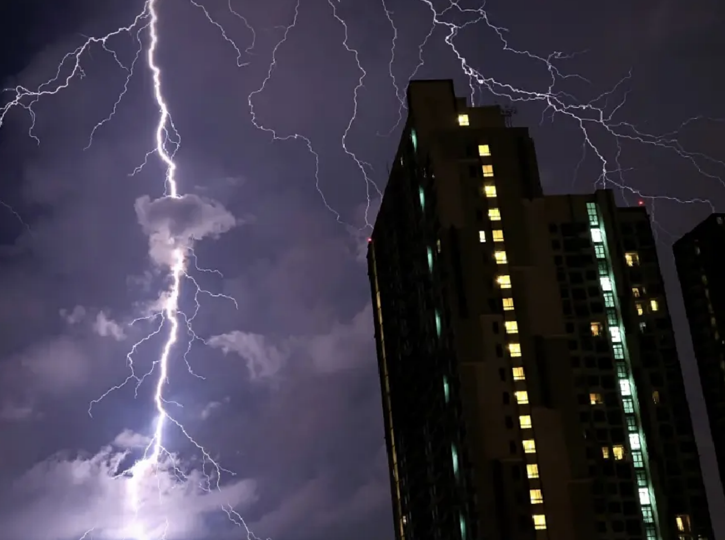
🌧️🇹🇭 Thailand Braces for Heavy Rain as Strong Monsoon Raises Flood Risk
If you're in Thailand this week, be sure to pack an umbrella ☔ and rain gear! A strong southwest monsoon is bringing heavy to very heavy rain across much of the country over the next few days.
The Thai Meteorological Department (TMD) warns that the intense rainfall could lead to ⚠️ flash floods, overflowing rivers, and dangerous runoff, especially in areas near hillsides, waterways, and low-lying communities.
📍 Areas Most at Risk
The heaviest rain is expected in:
- 🌧️ Western Central Thailand (Kanchanaburi and Ratchaburi)
- 🌧️ Eastern Thailand (Nakhon Nayok, Prachin Buri, Sa Kaeo, Chanthaburi, and Trat)
- 🌧️ The Andaman Coast (Ranong, Phang Nga, Phuket 🏝️, and Krabi)
Residents living near rivers, foothills, and flood-prone areas should stay alert and monitor local weather updates.
🌊 Dangerous Sea Conditions
The strong monsoon is also creating rough seas across the Andaman Sea and the Gulf of Thailand.
Wave heights are expected to reach:
- 🌊 2–4 metres in the upper Andaman Sea
- ⛈️ More than 4 metres during thunderstorms
- 🌊 2–3 metres in the lower Andaman Sea and upper Gulf
- ⛈️ Above 3 metres during thunderstorms
🚤 Small boats should remain ashore until Wednesday, July 15. People along Thailand's west coast should also watch for large waves washing onto shore.
🌀 Typhoon Bavi Update
Typhoon Bavi has made landfall in China's Zhejiang province and is expected to weaken into a tropical storm before fading into a tropical depression.
✅ The good news is that the storm is not expected to enter Thailand. However, it is strengthening the southwest monsoon, bringing even more moisture and heavier rainfall across the country.
🌦️ Regional Weather Forecast
🏙️ Bangkok & Surrounding Areas
- ⛈️ Thunderstorms across 60% of the area
- 🌡️ Temperatures: 26–35°C
🏔️ Northern Thailand
- ⛈️ Thunderstorms across 70% of the region
- 🌧️ Heavy rain possible in Mae Hong Son, Chiang Mai, Chiang Rai, Phayao, Nan, and Tak.
🌾 Northeast
- ⛈️ Thunderstorms across 70% of the region
- 🌧️ Heavy rain possible in Nong Khai, Bueng Kan, Udon Thani, Sakon Nakhon, Nakhon Phanom, Mukdahan, Amnat Charoen, and Ubon Ratchathani.
🌿 Central Thailand
- ⛈️ Thunderstorms across 60% of the region
- 🌧️ Heavy to very heavy rain expected in Kanchanaburi and Ratchaburi.
🌴 Eastern Thailand
- ⛈️ Thunderstorms across 60% of the region
- 🌧️ Heavy to very heavy rain in Nakhon Nayok, Prachin Buri, Sa Kaeo, Chanthaburi, and Trat.
- 🌊 Coastal waves of 2–3 metres, rising higher during thunderstorms.
🏖️ South (East Coast)
- ⛈️ Thunderstorms across 40% of the region
- 🌧️ Heavy rain possible in Phetchaburi, Prachuap Khiri Khan, Chumphon, and Surat Thani.
🏝️ South (West Coast)
- ⛈️ Thunderstorms across 60% of the region
- 🌧️ Heavy to very heavy rain expected in Ranong, Phang Nga, Phuket, and Krabi.
- 🌊 The roughest sea conditions are expected along this coastline.
✅ Bottom Line
Thailand is in for a very wet week. While Typhoon Bavi won't directly affect the country, it is strengthening the southwest monsoon, increasing the risk of heavy rain, flash floods, and dangerous sea conditions.
If you're traveling or spending time outdoors, remember to:
- ☔ Bring rain gear.
- 📱 Check the latest weather forecast before heading out.
- 🚫 Avoid flood-prone roads, rivers, and low-lying areas.
- 🌊 Stay away from rough seas and large waves.
- 🚤 Keep small boats ashore until conditions improve.
🇹🇭 Stay safe, stay dry, and keep an eye on the forecast!